High Resolution Magnetics
Airborne magnetic surveys map the variation of the Earth's magnetic field strength caused by magnetic minerals in the Earth's upper crust.
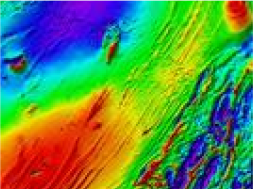

The Earth's magnetic field is directly influenced by geological structures, geological composition and magnetic minerals, most often due to changes in the percentage of magnetite in the rock. Developments in instrumentation and data processing techniques can map sedimentary basin structure and lithology, geological faults, lineaments and fracture systems, and magnetic anomaly targets.
Airborne magnetic surveys are an important component in mineral, hydrocarbon, coal and geothermal exploration projects.
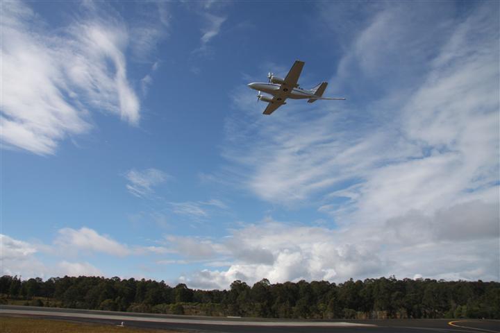
We have a variety of fixed wing and helicopter platforms available to suit any job, regardless of location or size. Surveys are conducted to gather the best possible data for the client whilst employing the safest and most practical methods of data gathering.